
The SFS Experience
Nowhere else will you find a study abroad experience like The School for Field Studies – adventurous, invigorating, and fulfilling.
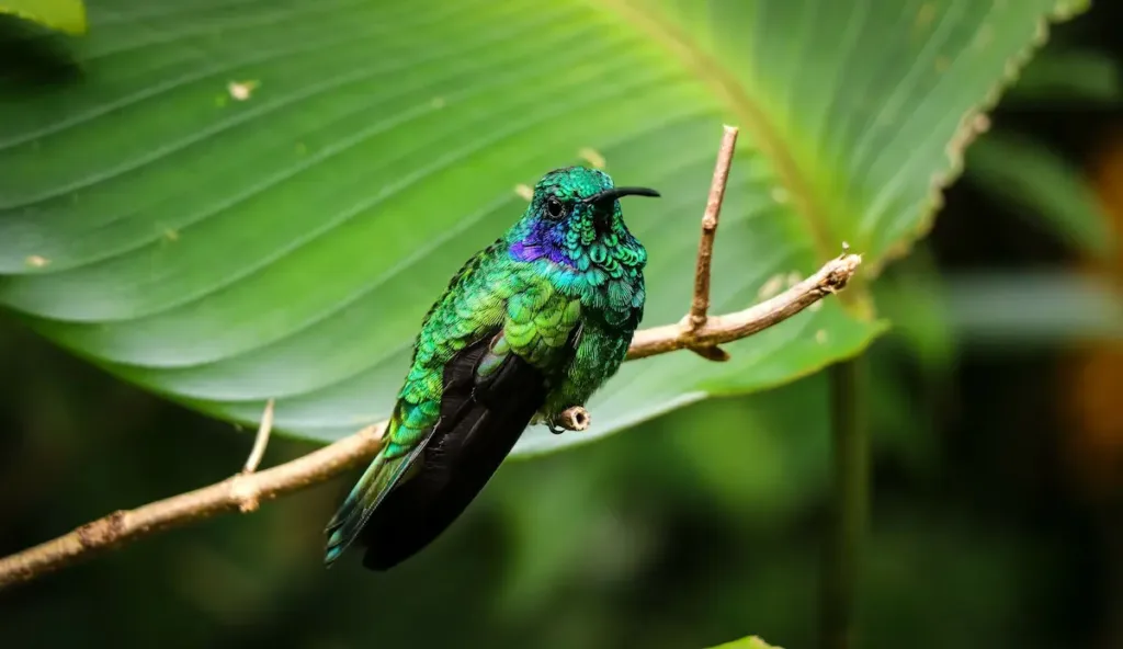
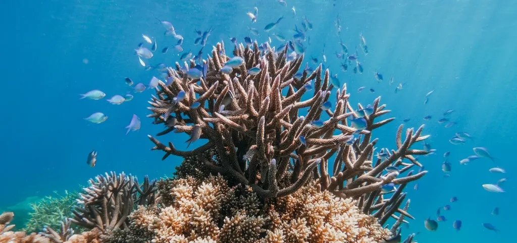
When you study abroad with SFS, you’re contributing to a legacy of environmental research and stewardship that spans more than 40 years, encompassing countries as diverse as Cambodia, Kenya, and Costa Rica. Our team of experienced research scientists will push you to get creative as you work to understand the critical environmental issues of our time. Get ready for muddy boots, cold showers, and dirt under your fingernails, because you will be out there doing science, not just talking about it in the classroom. And you won’t be alone – you’ll be joining a group of students who share your passion for creating a more sustainable future.
Our planet is home to an incredible diversity of life and depends on the next generation of environmental leaders to protect its future – will you be one of them?
Learn More about the SFS Experience
 Apply Now